


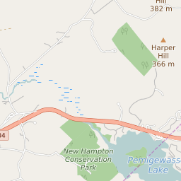


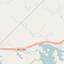


New Hampton New Hampshire Profile
| Place Name | New Hampton |
| Place Type | Census Designated Place |
| ZIP Code(s) | 03256 |
| County | Belknap County |
| Area Code(s) | 603 |
| Timezone | Eastern Daylight Time (EDT) |
| Population (2022) | 382 |
| Population Growth Rate (2010-19) | 6.27% |
| Majority Ethnicity | White 80.86% |
| Metro/Micro Stats Area | Laconia, NH |
| US Congressional District(s) | New Hampshire 1st |
| State House Districts | Belknap 1 |
| State Senate Districts | 2 |
New Hampton Race/Ethnicity Data
| Race/Ethnicy | Percentage of Population (2021) |
|---|---|
| White | 80.86% |
| African American | 19.14% |
| Hispanic | 0% |
| Asian | 0% |
| Native American | 0% |
| Hawaiin/Pacific Islander | 0% |