
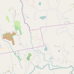
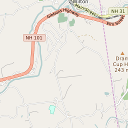
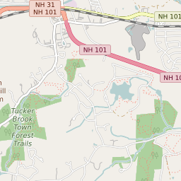


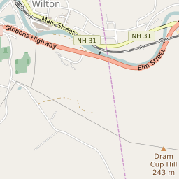


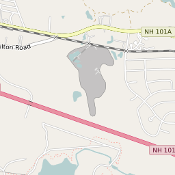


Wilton New Hampshire Profile
| Place Name | Wilton |
| Place Type | Census Designated Place |
| ZIP Code(s) | 03086 |
| County | Hillsborough County |
| Area Code(s) | 603 |
| Timezone | Eastern Standard Time (EST) |
| Population (2022) | 1,138 |
| Population Growth Rate (2010-19) | 13.84% |
| Majority Ethnicity | White 94.78% |
| Metro/Micro Stats Area | Manchester-Nashua, NH |
| US Congressional District(s) | New Hampshire 2nd |
| State House Districts | Hillsborough 4,Hillsborough 23 |
| State Senate Districts | 11 |
Wilton Race/Ethnicity Data
| Race/Ethnicy | Percentage of Population (2021) |
|---|---|
| White | 94.78% |
| African American | 0% |
| Hispanic | 0% |
| Asian | 1.84% |
| Native American | 0% |
| Hawaiin/Pacific Islander | 3.38% |