
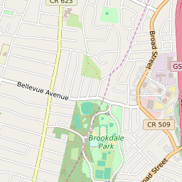


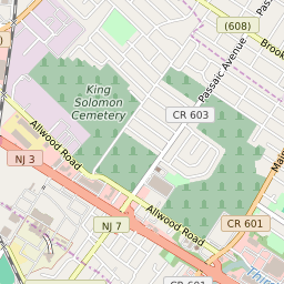

Brookdale New Jersey Profile
| Place Name | Brookdale |
| Place Type | Census Designated Place |
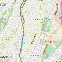
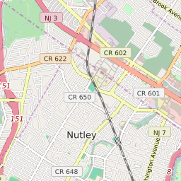
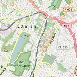
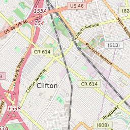
| ZIP Code(s) | 07003 07028 07043 07110 |
| County | Essex County |
| Area Code(s) | 862,973 |
| Timezone | Eastern Daylight Time (EDT) |
| Population (2022) | 9,814 |
| Population Growth Rate (2010-19) | 6.66% |
| Majority Ethnicity | White 61.87% |
| Metro/Micro Stats Area | New York-Newark-Jersey City, NY-NJ-PA |
| US Congressional District(s) | New Jersey 11th |
| State Assembly Districts | 28 |
| State Senate Districts | 28 |
Brookdale Race/Ethnicity Data
| Race/Ethnicy | Percentage of Population (2021) |
|---|---|
| White | 61.87% |
| African American | 8.03% |
| Hispanic | 0% |
| Asian | 11.75% |
| Native American | 0% |
| Hawaiin/Pacific Islander | 18.35% |