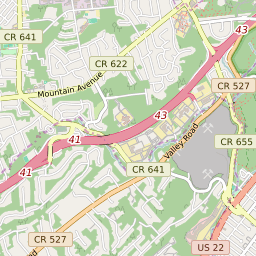
Cranford New Jersey Profile
| Place Name | Cranford |
| Place Type | Census Designated Place |
| ZIP Code(s) | 07016 |
| County | Union County |
| Area Code(s) | 908 |
| Timezone | Eastern Standard Time (EST) |
| Population (2022) | 2,008 |
| Majority Ethnicity | White 75.49% |
| Metro/Micro Stats Area | New York-Newark-Jersey City, NY-NJ-PA |
| US Congressional District(s) | New Jersey 7th |
| State Assembly Districts | 21 |
| State Senate Districts | 21 |
Cranford Race/Ethnicity Data
| Race/Ethnicy | Percentage of Population (2021) |
|---|---|
| White | 75.49% |
| African American | 4.49% |
| Hispanic | 0% |
| Asian | 0.75% |
| Native American | 0% |
| Hawaiin/Pacific Islander | 19.26% |