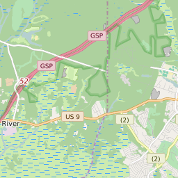
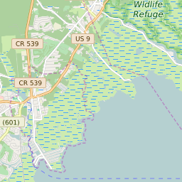


Mystic Island New Jersey Profile
| Place Name | Mystic Island |
| Place Type | Census Designated Place |
| ZIP Code(s) | 08087 |
| County | Ocean County |
| Area Code(s) | 609,640 |
| Timezone | Eastern Daylight Time (EDT) |
| Population (2022) | 8,164 |
| Population Growth Rate (2010-19) | -2.26% |
| Majority Ethnicity | White 90.14% |
| Metro/Micro Stats Area | New York-Newark-Jersey City, NY-NJ-PA |
| US Congressional District(s) | New Jersey 2nd |
| State Assembly Districts | 9 |
| State Senate Districts | 9 |
Mystic Island Race/Ethnicity Data
| Race/Ethnicy | Percentage of Population (2021) |
|---|---|
| White | 90.14% |
| African American | 2.62% |
| Hispanic | 0.18% |
| Asian | 0.44% |
| Native American | 0% |
| Hawaiin/Pacific Islander | 6.63% |