


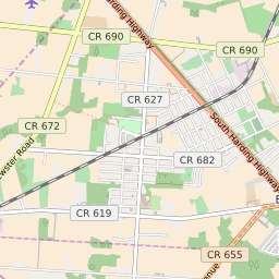
Newtonville New Jersey Profile
| Place Name | Newtonville |
| Place Type | Census Designated Place |
| ZIP Code(s) | 08346 |
| County | Atlantic County |
| Area Code(s) | 609,640 |
| Timezone | Eastern Standard Time (EST) |
| Population (2022) | 781 |
| Majority Ethnicity | White 46.01% |
| Metro/Micro Stats Area | Atlantic City-Hammonton, NJ |
| US Congressional District(s) | New Jersey 2nd |
| State Assembly Districts | 2 |
| State Senate Districts | 2 |
Newtonville Race/Ethnicity Data
| Race/Ethnicy | Percentage of Population (2021) |
|---|---|
| White | 46.01% |
| African American | 15.86% |
| Hispanic | 18.11% |
| Asian | 1.69% |
| Native American | 0% |
| Hawaiin/Pacific Islander | 18.34% |