


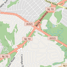
Ramtown New Jersey Profile
| Place Name | Ramtown |
| Place Type | Census Designated Place |
| ZIP Code(s) | 07731 08701 |
| County | Monmouth County |
| Area Code(s) | 732,848 |
| Timezone | Eastern Standard Time (EST) |
| Population (2022) | 6,056 |
| Population Growth Rate (2010-19) | 1.39% |
| Majority Ethnicity | White 77.28% |
| Metro/Micro Stats Area | New York-Newark-Jersey City, NY-NJ-PA |
| US Congressional District(s) | New Jersey 4th |
| State Assembly Districts | 30 |
| State Senate Districts | 30 |
Ramtown Race/Ethnicity Data
| Race/Ethnicy | Percentage of Population (2021) |
|---|---|
| White | 77.28% |
| African American | 2.28% |
| Hispanic | 0% |
| Asian | 1.3% |
| Native American | 0% |
| Hawaiin/Pacific Islander | 19.13% |