


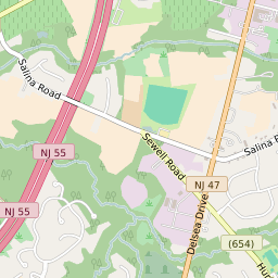


Sewell New Jersey Profile
| Place Name | Sewell |
| Place Type | Census Designated Place |
| ZIP Code(s) | 08080 |
| County | Gloucester County |
| Area Code(s) | 856 |
| Timezone | Eastern Standard Time (EST) |
| Population (2022) | 3,067 |
| Majority Ethnicity | White 96.46% |
| Metro/Micro Stats Area | Philadelphia-Camden-Wilmington, PA-NJ-DE-MD |
| US Congressional District(s) | New Jersey 2nd |
| State Assembly Districts | 5 |
| State Senate Districts | 5 |
Sewell Race/Ethnicity Data
| Race/Ethnicy | Percentage of Population (2021) |
|---|---|
| White | 96.46% |
| African American | 1.56% |
| Hispanic | 0% |
| Asian | 1.99% |
| Native American | 0% |
| Hawaiin/Pacific Islander | 0% |