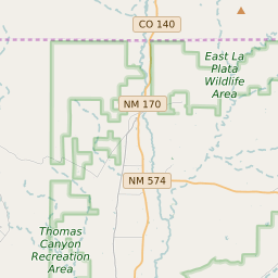


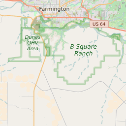


La Plata New Mexico Profile
| Place Name | La Plata |
| Place Type | Census Designated Place |
| ZIP Code(s) | 87418 |
| County | San Juan County |
| Area Code(s) | 505 |
| Timezone | Mountain Standard Time (MST) |
| Population (2022) | 830 |
| Population Growth Rate (2010-19) | 243.95% |
| Majority Ethnicity | White 71.2% |
| Metro/Micro Stats Area | Farmington, NM |
| US Congressional District(s) | New Mexico 3rd |
| State House Districts | 1,4 |
| State Senate Districts | 1,2 |
La Plata Race/Ethnicity Data
| Race/Ethnicy | Percentage of Population (2021) |
|---|---|
| White | 71.2% |
| African American | 0.14% |
| Hispanic | 12.05% |
| Asian | 0.24% |
| Native American | 0% |
| Hawaiin/Pacific Islander | 16.38% |