


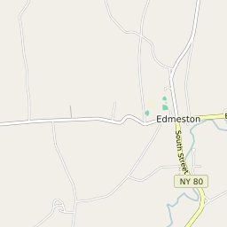
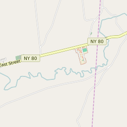


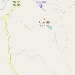


Edmeston New York Profile
| Place Name | Edmeston |
| Place Type | Census Designated Place |
| ZIP Code(s) | 13335 |
| County | Otsego County |
| Area Code(s) | 607 |
| Timezone | Eastern Standard Time (EST) |
| Population (2022) | 774 |
| Population Growth Rate (2010-19) | -9.89% |
| Majority Ethnicity | White 92.41% |
| Metro/Micro Stats Area | Oneonta, NY |
| US Congressional District(s) | New York 19th |
| State Assembly Districts | 121 |
| State Senate Districts | 51 |
Edmeston Race/Ethnicity Data
| Race/Ethnicy | Percentage of Population (2021) |
|---|---|
| White | 92.41% |
| African American | 0.84% |
| Hispanic | 0% |
| Asian | 2.74% |
| Native American | 0% |
| Hawaiin/Pacific Islander | 4.01% |