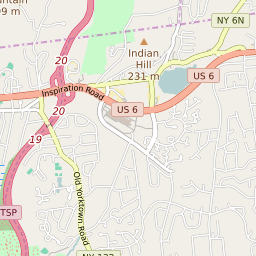
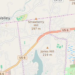
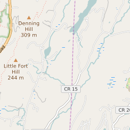
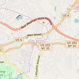
Jefferson Valley-Yorktown New York Boundary Map


Jefferson Valley-Yorktown New York Profile
| Place Name | Jefferson Valley-Yorktown |
| Place Type | Census Designated Place |
| ZIP Code(s) | 10535 10541 10588 10598 |
| County | Westchester County |
| Area Code(s) | 914 |
| Timezone | Eastern Standard Time (EST) |
| Population (2022) | 14,503 |
| Population Growth Rate (2010-19) | 2.14% |
| Majority Ethnicity | White 79.8% |
| Metro/Micro Stats Area | New York-Newark-Jersey City, NY-NJ-PA |
| US Congressional District(s) | New York 17th |
| State Assembly Districts | 94 |
| State Senate Districts | 40 |
Jefferson Valley-Yorktown Race/Ethnicity Data
| Race/Ethnicy | Percentage of Population (2021) |
|---|---|
| White | 79.8% |
| African American | 5.13% |
| Hispanic | 0.03% |
| Asian | 4.12% |
| Native American | 0.29% |
| Hawaiin/Pacific Islander | 10.63% |