

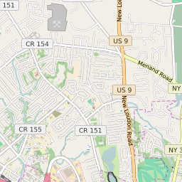


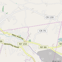
Latham New York Profile
| Place Name | Latham |
| Place Type | Census Designated Place |
| ZIP Code(s) | 12110 |
| County | Albany County |
| Area Code(s) | 518,838 |
| Timezone | Eastern Standard Time (EST) |
| Population (2022) | 13,760 |
| Majority Ethnicity | White 83.29% |
| Metro/Micro Stats Area | Albany-Schenectady-Troy, NY |
| US Congressional District(s) | New York 20th |
| State Assembly Districts | 110 |
| State Senate Districts | 44 |
Latham Race/Ethnicity Data
| Race/Ethnicy | Percentage of Population (2021) |
|---|---|
| White | 83.29% |
| African American | 2.73% |
| Hispanic | 0% |
| Asian | 10.73% |
| Native American | 0% |
| Hawaiin/Pacific Islander | 3.25% |