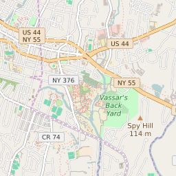


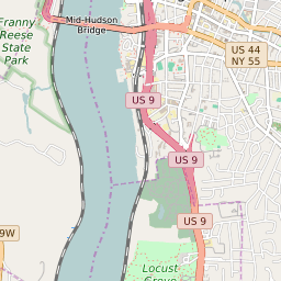


MacDonnell Heights New York Profile
| Place Name | MacDonnell Heights |
| Place Type | Census Designated Place |
| ZIP Code(s) | 12603 |
| County | Dutchess County |
| Area Code(s) | 845 |
| Timezone | Eastern Standard Time (EST) |
| Population (2022) | 1,283 |
| Majority Ethnicity | White 91.43% |
| Metro/Micro Stats Area | Poughkeepsie-Newburgh-Middletown, NY |
| US Congressional District(s) | New York 18th New York 19th |
| State Assembly Districts | 106 |
| State Senate Districts | 41 |
MacDonnell Heights Race/Ethnicity Data
| Race/Ethnicy | Percentage of Population (2021) |
|---|---|
| White | 91.43% |
| African American | 5.1% |
| Hispanic | 1% |
| Asian | 0% |
| Native American | 0% |
| Hawaiin/Pacific Islander | 2.47% |