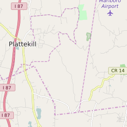


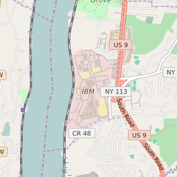
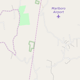


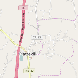


Marlboro New York Profile
| Place Name | Marlboro |
| Place Type | Census Designated Place |
| ZIP Code(s) | 12542 |
| County | Ulster County |
| Area Code(s) | 845 |
| Timezone | Eastern Daylight Time (EDT) |
| Population (2022) | 3,548 |
| Population Growth Rate (2010-19) | 0.82% |
| Majority Ethnicity | White 87.52% |
| Metro/Micro Stats Area | Kingston, NY |
| US Congressional District(s) | New York 19th |
| State Assembly Districts | 104 |
| State Senate Districts | 39 |
Marlboro Race/Ethnicity Data
| Race/Ethnicy | Percentage of Population (2021) |
|---|---|
| White | 87.52% |
| African American | 1.28% |
| Hispanic | 0.5% |
| Asian | 0.5% |
| Native American | 0% |
| Hawaiin/Pacific Islander | 10.2% |