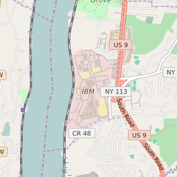

Spackenkill New York Profile
| Place Name | Spackenkill |
| Place Type | Census Designated Place |
| ZIP Code(s) | 12601 12603 |
| County | Dutchess County |
| Area Code(s) | 845 |
| Timezone | Eastern Daylight Time (EDT) |
| Population (2022) | 4,060 |
| Population Growth Rate (2010-19) | 2.43% |
| Majority Ethnicity | White 77.38% |
| Metro/Micro Stats Area | Poughkeepsie-Newburgh-Middletown, NY |
| US Congressional District(s) | New York 18th |
| State Assembly Districts | 106 |
| State Senate Districts | 41 |
Spackenkill Race/Ethnicity Data
| Race/Ethnicy | Percentage of Population (2021) |
|---|---|
| White | 77.38% |
| African American | 2.14% |
| Hispanic | 0.16% |
| Asian | 8.76% |
| Native American | 0% |
| Hawaiin/Pacific Islander | 11.55% |