
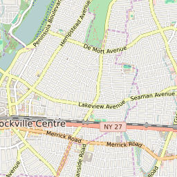
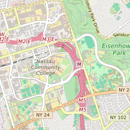


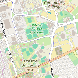
West Hempstead New York Profile
| Place Name | West Hempstead |
| Place Type | Census Designated Place |
| ZIP Code(s) | 11552 |
| County | Nassau County |
| Area Code(s) | 516 |
| Timezone | Eastern Standard Time (EST) |
| Population (2022) | 18,673 |
| Population Growth Rate (2010-19) | 5.16% |
| Majority Ethnicity | White 59.81% |
| Metro/Micro Stats Area | New York-Newark-Jersey City, NY-NJ-PA |
| US Congressional District(s) | New York 4th |
| State Assembly Districts | 18,19,21 |
| State Senate Districts | 6,9 |
West Hempstead Race/Ethnicity Data
| Race/Ethnicy | Percentage of Population (2021) |
|---|---|
| White | 59.81% |
| African American | 11.21% |
| Hispanic | 0.16% |
| Asian | 4.31% |
| Native American | 0.27% |
| Hawaiin/Pacific Islander | 24.24% |