


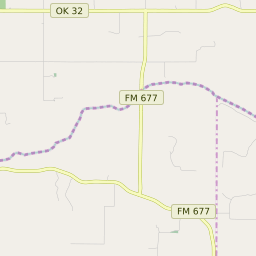


Burneyville Oklahoma Profile
| Place Name | Burneyville |
| Place Type | Census Designated Place |
| ZIP Code(s) | 73430 |
| County | Love County |
| Area Code(s) | 580 |
| Timezone | Central Standard Time (CST) |
| Population (2022) | 562 |
| Majority Ethnicity | White 79% |
| Metro/Micro Stats Area | Ardmore, OK |
| US Congressional District(s) | Oklahoma 4th |
| State House Districts | 49 |
| State Senate Districts | 14 |
Burneyville Race/Ethnicity Data
| Race/Ethnicy | Percentage of Population (2021) |
|---|---|
| White | 79% |
| African American | 5.13% |
| Hispanic | 4.38% |
| Asian | 0% |
| Native American | 0% |
| Hawaiin/Pacific Islander | 11.5% |