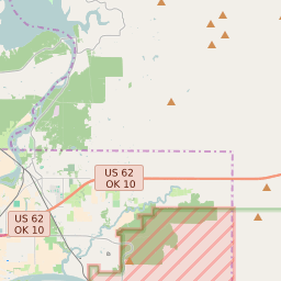
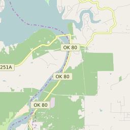


Norwood Oklahoma Profile
| Place Name | Norwood |
| Place Type | Census Designated Place |
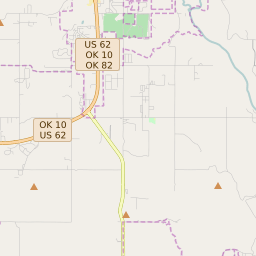
| ZIP Code(s) | 74434 74441 74464 |
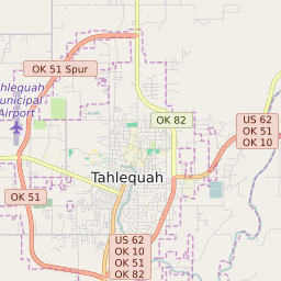
| County | Cherokee County Muskogee County |
| Area Code(s) | 539,918 |
| Timezone | Central Standard Time (CST) |
| Population (2022) | 1,760 |
| Majority Ethnicity | White 54.87% |
| Metro/Micro Stats Area | Tahlequah, OK Muskogee, OK |
| US Congressional District(s) | Oklahoma 2nd |
| State House Districts | 4,14 |
| State Senate Districts | 18 |
Norwood Race/Ethnicity Data
| Race/Ethnicy | Percentage of Population (2021) |
|---|---|
| White | 54.87% |
| African American | 4.15% |
| Hispanic | 38.26% |
| Asian | 0.88% |
| Native American | 0% |
| Hawaiin/Pacific Islander | 1.84% |