


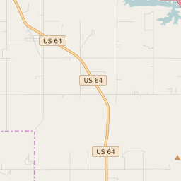


River Bottom Oklahoma Profile
| Place Name | River Bottom |
| Place Type | Census Designated Place |
| ZIP Code(s) | 74403 74423 |
| County | Muskogee County |
| Area Code(s) | 539,918 |
| Timezone | Central Standard Time (CST) |
| Population (2022) | 252 |
| Population Growth Rate (2010-19) | 61.04% |
| Majority Ethnicity | White 82.97% |
| Metro/Micro Stats Area | Muskogee, OK |
| US Congressional District(s) | Oklahoma 2nd |
| State House Districts | 14 |
| State Senate Districts | 9 |
River Bottom Race/Ethnicity Data
| Race/Ethnicy | Percentage of Population (2021) |
|---|---|
| White | 82.97% |
| African American | 0% |
| Hispanic | 17.03% |
| Asian | 0% |
| Native American | 0% |
| Hawaiin/Pacific Islander | 0% |