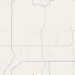
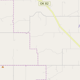
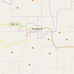
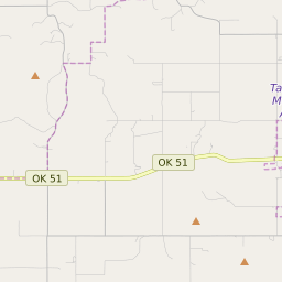
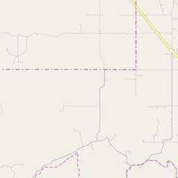
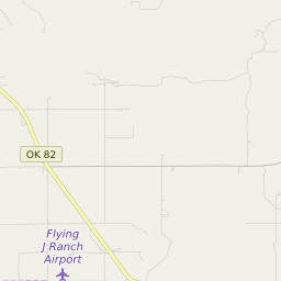
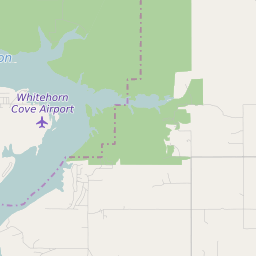
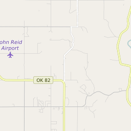
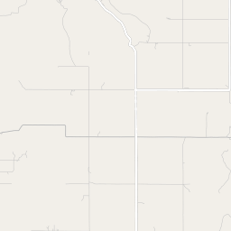
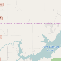
Shady Grove (Cherokee County) Oklahoma Boundary Map


Shady Grove (Cherokee County) Oklahoma Profile
| Place Name | Shady Grove (Cherokee County) |
| Place Type | Census Designated Place |
| ZIP Code(s) | 74441 74464 |
| County | Cherokee County |
| Area Code(s) | 539,918 |
| Timezone | Central Standard Time (CST) |
| Population (2022) | 550 |
| Population Growth Rate (2010-19) | -6.65% |
| Majority Ethnicity | White 47.64% |
| Metro/Micro Stats Area | Tahlequah, OK |
| US Congressional District(s) | Oklahoma 2nd |
| State House Districts | 4 |
| State Senate Districts | 18 |
Shady Grove (Cherokee County) Race/Ethnicity Data
| Race/Ethnicy | Percentage of Population (2021) |
|---|---|
| White | 47.64% |
| African American | 2.83% |
| Hispanic | 45.99% |
| Asian | 0% |
| Native American | 0% |
| Hawaiin/Pacific Islander | 3.54% |