


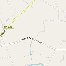
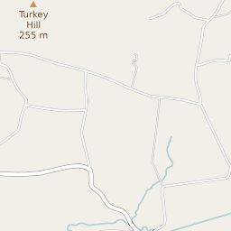

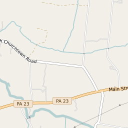
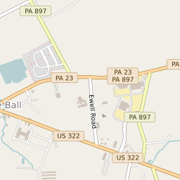


Goodville Pennsylvania Profile
| Place Name | Goodville |
| Place Type | Census Designated Place |
| ZIP Code(s) | 17519 |
| County | Lancaster County |
| Area Code(s) | 717 |
| Timezone | Eastern Daylight Time (EDT) |
| Population (2022) | 423 |
| Population Growth Rate (2010-19) | -19.50% |
| Majority Ethnicity | White 83.43% |
| Metro/Micro Stats Area | Lancaster, PA |
| US Congressional District(s) | Pennsylvania 16th |
| State House Districts | 99 |
| State Senate Districts | 36 |
Goodville Race/Ethnicity Data
| Race/Ethnicy | Percentage of Population (2021) |
|---|---|
| White | 83.43% |
| African American | 0% |
| Hispanic | 0% |
| Asian | 16.57% |
| Native American | 0% |
| Hawaiin/Pacific Islander | 0% |