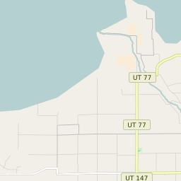
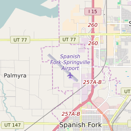
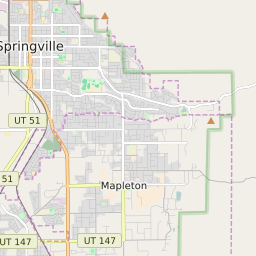

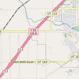

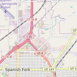


Palmyra Utah Profile
| Place Name | Palmyra |
| Place Type | Census Designated Place |
| ZIP Code(s) | 84660 |
| County | Utah County |
| Area Code(s) | 385,801 |
| Timezone | Mountain Standard Time (MST) |
| Population (2022) | 579 |
| Population Growth Rate (2010-19) | -9.78% |
| Majority Ethnicity | White 100% |
| Metro/Micro Stats Area | Provo-Orem, UT |
| US Congressional District(s) | Utah 4th |
| State House Districts | 66 |
| State Senate Districts | 7 |
Palmyra Race/Ethnicity Data
| Race/Ethnicy | Percentage of Population (2021) |
|---|---|
| White | 100% |
| African American | 0% |
| Hispanic | 0% |
| Asian | 0% |
| Native American | 0% |
| Hawaiin/Pacific Islander | 0% |