
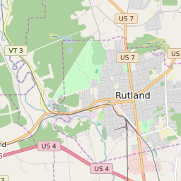


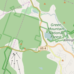

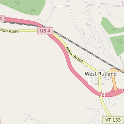

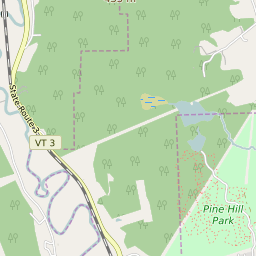
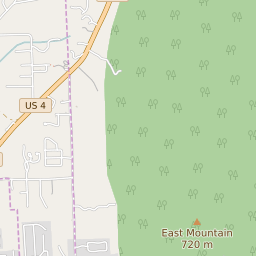
West Rutland Vermont Profile
| Place Name | West Rutland |
| Place Type | Census Designated Place |
| ZIP Code(s) | 05777 |
| County | Rutland County |
| Area Code(s) | 802 |
| Timezone | Eastern Daylight Time (EDT) |
| Population (2022) | 2,198 |
| Population Growth Rate (2010-19) | -6.23% |
| Majority Ethnicity | White 94.13% |
| Metro/Micro Stats Area | Rutland, VT |
| US Congressional District(s) | Vermont At-Large |
| State House Districts | Rutland-2 |
| State Senate Districts | Rutland |
West Rutland Race/Ethnicity Data
| Race/Ethnicy | Percentage of Population (2021) |
|---|---|
| White | 94.13% |
| African American | 0% |
| Hispanic | 0% |
| Asian | 0% |
| Native American | 0% |
| Hawaiin/Pacific Islander | 5.87% |