
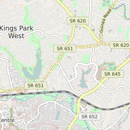
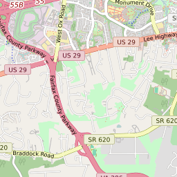
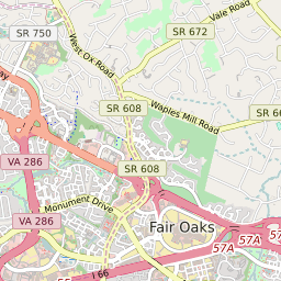
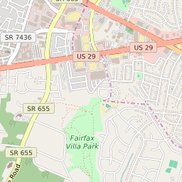
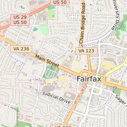
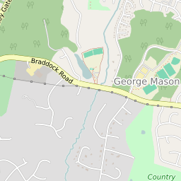
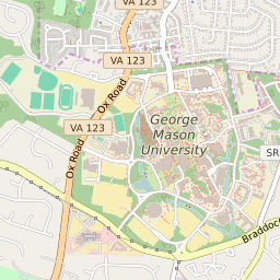


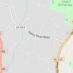
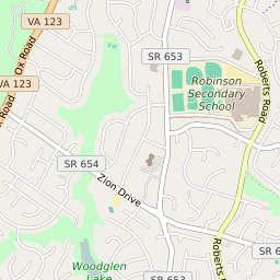

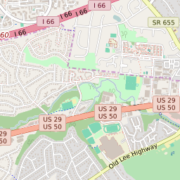
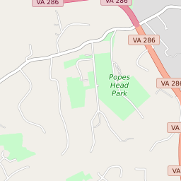

George Mason Virginia Profile
| Place Name | George Mason |
| Place Type | Census Designated Place |
| ZIP Code(s) | 22030 22032 |
| County | Fairfax County |
| Area Code(s) | 571,703 |
| Timezone | Eastern Daylight Time (EDT) |
| Population (2022) | 9,383 |
| Population Growth Rate (2010-19) | 17.54% |
| Majority Ethnicity | White 51.7% |
| Metro/Micro Stats Area | Washington-Arlington-Alexandria, DC-VA-MD-WV |
| US Congressional District(s) | Virginia 11th |
| House of Delegates Districts | 37,41 |
| State Senate Districts | 34 |
George Mason Race/Ethnicity Data
| Race/Ethnicy | Percentage of Population (2021) |
|---|---|
| White | 51.7% |
| African American | 20.38% |
| Hispanic | 0% |
| Asian | 15.44% |
| Native American | 0.03% |
| Hawaiin/Pacific Islander | 12.45% |