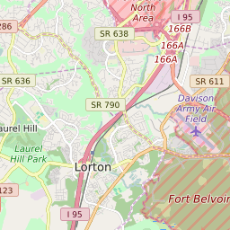

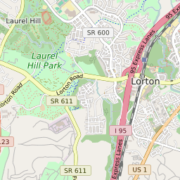
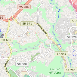
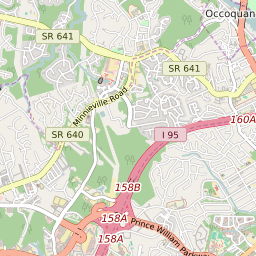


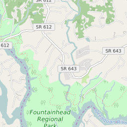
Laurel Hill Virginia Profile
| Place Name | Laurel Hill |
| Place Type | Census Designated Place |
| ZIP Code(s) | 22079 |
| County | Fairfax County |
| Area Code(s) | 571,703 |
| Timezone | Eastern Standard Time (EST) |
| Population (2022) | 6,682 |
| Population Growth Rate (2010-19) | 21.18% |
| Majority Ethnicity | White 43.17% |
| Metro/Micro Stats Area | Washington-Arlington-Alexandria, DC-VA-MD-WV |
| US Congressional District(s) | Virginia 11th |
| House of Delegates Districts | 42 |
| State Senate Districts | 39 |
Laurel Hill Race/Ethnicity Data
| Race/Ethnicy | Percentage of Population (2021) |
|---|---|
| White | 43.17% |
| African American | 26.26% |
| Hispanic | 0% |
| Asian | 21.6% |
| Native American | 0% |
| Hawaiin/Pacific Islander | 8.97% |