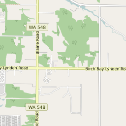
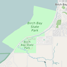
Custer Washington Profile
| Place Name | Custer |
| Place Type | Census Designated Place |
| ZIP Code(s) | 98240 |
| County | Whatcom County |
| Area Code(s) | 360 |
| Timezone | Pacific Daylight Time (PDT) |
| Population (2022) | 805 |
| Population Growth Rate (2010-19) | 41.53% |
| Majority Ethnicity | White 94.71% |
| Metro/Micro Stats Area | Bellingham, WA |
| US Congressional District(s) | Washington 1st |
| State House Districts | 42 |
| State Senate Districts | 42 |
Custer Race/Ethnicity Data
| Race/Ethnicy | Percentage of Population (2021) |
|---|---|
| White | 94.71% |
| African American | 0% |
| Hispanic | 0% |
| Asian | 0% |
| Native American | 0% |
| Hawaiin/Pacific Islander | 5.29% |