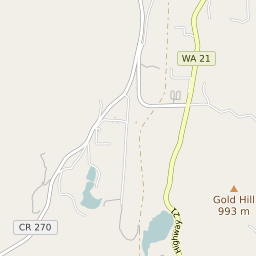

Torboy Washington Profile
| Place Name | Torboy |
| Place Type | Census Designated Place |
| ZIP Code(s) | 99166 |
| County | Ferry County |
| Area Code(s) | 509 |
| Timezone | Pacific Daylight Time (PDT) |
| Population (2022) | 109 |
| Population Growth Rate (2010-19) | -12.24% |
| Majority Ethnicity | White 86.73% |
| US Congressional District(s) | Washington 5th |
| State House Districts | 7 |
| State Senate Districts | 7 |
Torboy Race/Ethnicity Data
| Race/Ethnicy | Percentage of Population (2021) |
|---|---|
| White | 86.73% |
| African American | 0% |
| Hispanic | 13.27% |
| Asian | 0% |
| Native American | 0% |
| Hawaiin/Pacific Islander | 0% |