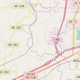


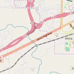


Alma Arkansas Profile
| Place Name | Alma |
| Place Type | City |
| ZIP Code(s) | 72921 |
| County | Crawford County |
| Area Code(s) | 479 |
| Timezone | Central Standard Time (CST) |
| Population (2022) | 5,384 |
| Population Growth Rate (2010-19) | 7.49% |
| Majority Ethnicity | White 89.48% |
| Metro/Micro Stats Area | Fort Smith, AR-OK |
| US Congressional District(s) | Arkansas 4th Arkansas 3rd |
| State House Districts | 81 |
| State Senate Districts | 5 |
Alma Race/Ethnicity Data
| Race/Ethnicy | Percentage of Population (2021) |
|---|---|
| White | 89.48% |
| African American | 3.19% |
| Hispanic | 2.94% |
| Asian | 0% |
| Native American | 0.07% |
| Hawaiin/Pacific Islander | 4.31% |