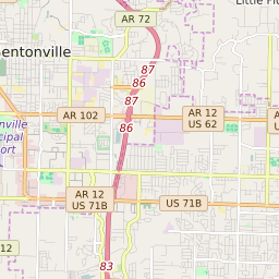
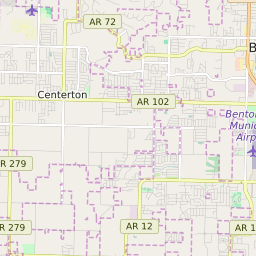
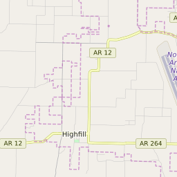
Lowell Arkansas Profile
| Place Name | Lowell |
| Place Type | City |
| ZIP Code(s) | 72745 |
| County | Benton County |
| Area Code(s) | 479 |
| Timezone | Central Standard Time (CST) |
| Population (2022) | 7,377 |
| Population Growth Rate (2010-19) | 34.28% |
| Majority Ethnicity | White 69.88% |
| Metro/Micro Stats Area | Fayetteville-Springdale-Rogers, AR |
| US Congressional District(s) | Arkansas 3rd |
| State House Districts | 90 |
| State Senate Districts | 1,3 |
Lowell Race/Ethnicity Data
| Race/Ethnicy | Percentage of Population (2021) |
|---|---|
| White | 69.88% |
| African American | 0.68% |
| Hispanic | 0.61% |
| Asian | 2.52% |
| Native American | 0.36% |
| Hawaiin/Pacific Islander | 25.95% |