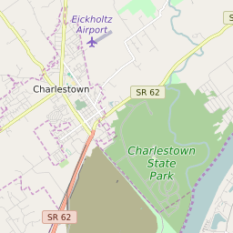

Charlestown Indiana Profile
| Place Name | Charlestown |
| Place Type | City |
| ZIP Code(s) | 47111 |
| County | Clark County |
| Area Code(s) | 812,930 |
| Timezone | Eastern Standard Time (EST) |
| Population (2022) | 7,607 |
| Population Growth Rate (2010-19) | 2.50% |
| Majority Ethnicity | White 88.47% |
| Metro/Micro Stats Area | Louisville/Jefferson County, KY-IN |
| US Congressional District(s) | Indiana 9th |
| State House Districts | 66 |
| State Senate Districts | 45 |
Charlestown Race/Ethnicity Data
| Race/Ethnicy | Percentage of Population (2021) |
|---|---|
| White | 88.47% |
| African American | 3.9% |
| Hispanic | 1.32% |
| Asian | 0.25% |
| Native American | 0% |
| Hawaiin/Pacific Islander | 6.07% |