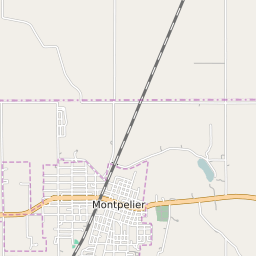


Montpelier Indiana Profile
| Place Name | Montpelier |
| Place Type | City |
| ZIP Code(s) | 47359 |
| County | Blackford County |
| Area Code(s) | 765 |
| Timezone | Eastern Daylight Time (EDT) |
| Population (2022) | 1,674 |
| Population Growth Rate (2010-19) | -14.68% |
| Majority Ethnicity | White 96.6% |
| US Congressional District(s) | Indiana 3rd |
| State House Districts | 31 |
| State Senate Districts | 19 |
Montpelier Race/Ethnicity Data
| Race/Ethnicy | Percentage of Population (2021) |
|---|---|
| White | 96.6% |
| African American | 0.37% |
| Hispanic | 0% |
| Asian | 2.1% |
| Native American | 0% |
| Hawaiin/Pacific Islander | 0.93% |