


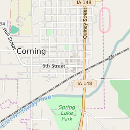
Corning Iowa Profile
| Place Name | Corning |
| Place Type | City |
| ZIP Code(s) | 50841 |
| County | Adams County |
| Area Code(s) | 641 |
| Timezone | Central Daylight Time (CDT) |
| Population (2022) | 1,603 |
| Population Growth Rate (2010-19) | -4.34% |
| Majority Ethnicity | White 97.06% |
| US Congressional District(s) | Iowa 3rd |
| State House Districts | 21 |
| State Senate Districts | 11 |
Corning Race/Ethnicity Data
| Race/Ethnicy | Percentage of Population (2021) |
|---|---|
| White | 97.06% |
| African American | 0.26% |
| Hispanic | 1.09% |
| Asian | 0% |
| Native American | 0% |
| Hawaiin/Pacific Islander | 1.6% |