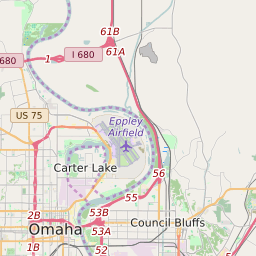
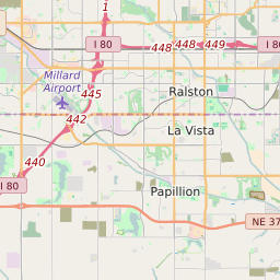
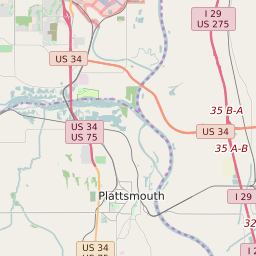
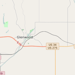
Council Bluffs Iowa Profile
| Place Name | Council Bluffs |
| Place Type | City |
| ZIP Code(s) | 51501 51503 |
| County | Pottawattamie County |
| Area Code(s) | 712 |
| Timezone | Central Standard Time (CST) |
| Population (2022) | 61,986 |
| Population Growth Rate (2010-19) | 0.91% |
| Majority Ethnicity | White 86.8% |
| Metro/Micro Stats Area | Omaha-Council Bluffs, NE-IA |
| US Congressional District(s) | Iowa 3rd |
| State House Districts | 15,16,22 |
| State Senate Districts | 8,11 |
Council Bluffs Race/Ethnicity Data
| Race/Ethnicy | Percentage of Population (2021) |
|---|---|
| White | 86.8% |
| African American | 1.97% |
| Hispanic | 0.38% |
| Asian | 0.88% |
| Native American | 0.05% |
| Hawaiin/Pacific Islander | 9.93% |