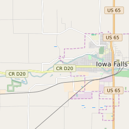


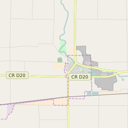


Iowa Falls Iowa Profile
| Place Name | Iowa Falls |
| Place Type | City |
| ZIP Code(s) | 50126 |
| County | Hardin County |
| Area Code(s) | 641 |
| Timezone | Central Standard Time (CST) |
| Population (2022) | 5,186 |
| Population Growth Rate (2010-19) | -2.52% |
| Majority Ethnicity | White 93.62% |
| US Congressional District(s) | Iowa 4th |
| State House Districts | 50 |
| State Senate Districts | 25 |
Iowa Falls Race/Ethnicity Data
| Race/Ethnicy | Percentage of Population (2021) |
|---|---|
| White | 93.62% |
| African American | 0.8% |
| Hispanic | 0.8% |
| Asian | 0% |
| Native American | 0% |
| Hawaiin/Pacific Islander | 4.78% |