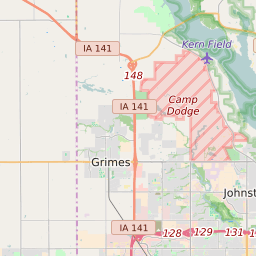

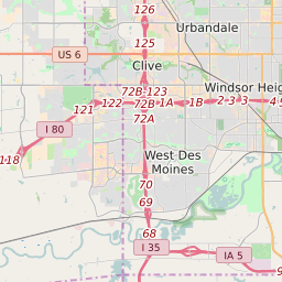
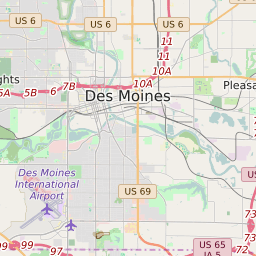

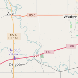
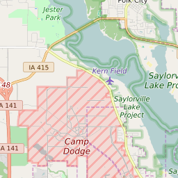
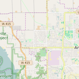
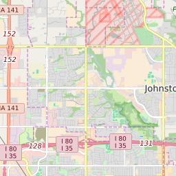

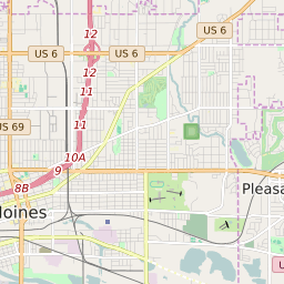

Johnston Iowa Profile
| Place Name | Johnston |
| Place Type | City |
| ZIP Code(s) | 50131 |
| County | Polk County |
| Area Code(s) | 515 |
| Timezone | Central Standard Time (CST) |
| Population (2022) | 17,316 |
| Population Growth Rate (2010-19) | 39.28% |
| Majority Ethnicity | White 80.32% |
| Metro/Micro Stats Area | Des Moines-West Des Moines, IA |
| US Congressional District(s) | Iowa 3rd |
| State House Districts | 39 |
| State Senate Districts | 20 |
Johnston Race/Ethnicity Data
| Race/Ethnicy | Percentage of Population (2021) |
|---|---|
| White | 80.32% |
| African American | 9.94% |
| Hispanic | 0.09% |
| Asian | 6.47% |
| Native American | 0% |
| Hawaiin/Pacific Islander | 3.19% |