


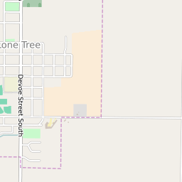


Lone Tree Iowa Profile
| Place Name | Lone Tree |
| Place Type | City |
| ZIP Code(s) | 52755 |
| County | Johnson County |
| Area Code(s) | 319 |
| Timezone | Central Daylight Time (CDT) |
| Population (2022) | 1,391 |
| Population Growth Rate (2010-19) | 4.38% |
| Majority Ethnicity | White 95.57% |
| Metro/Micro Stats Area | Iowa City, IA |
| US Congressional District(s) | Iowa 2nd |
| State House Districts | 77 |
| State Senate Districts | 39 |
Lone Tree Race/Ethnicity Data
| Race/Ethnicy | Percentage of Population (2021) |
|---|---|
| White | 95.57% |
| African American | 0% |
| Hispanic | 0% |
| Asian | 0.36% |
| Native American | 0% |
| Hawaiin/Pacific Islander | 4.07% |