
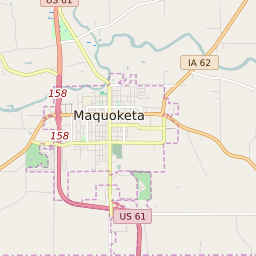


Maquoketa Iowa Profile
| Place Name | Maquoketa |
| Place Type | City |
| ZIP Code(s) | 52060 |
| County | Jackson County Clinton County |
| Area Code(s) | 563 |
| Timezone | Central Daylight Time (CDT) |
| Population (2022) | 6,113 |
| Population Growth Rate (2010-19) | -0.21% |
| Majority Ethnicity | White 94.41% |
| Metro/Micro Stats Area | Clinton, IA |
| US Congressional District(s) | Iowa 1st Iowa 2nd |
| State House Districts | 58,97 |
| State Senate Districts | 29,49 |
Maquoketa Race/Ethnicity Data
| Race/Ethnicy | Percentage of Population (2021) |
|---|---|
| White | 94.41% |
| African American | 1.62% |
| Hispanic | 0.02% |
| Asian | 0% |
| Native American | 2.12% |
| Hawaiin/Pacific Islander | 1.84% |