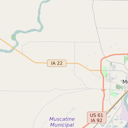
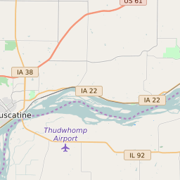
Muscatine Iowa Profile
| Place Name | Muscatine |
| Place Type | City |
| ZIP Code(s) | 52761 |
| County | Muscatine County |
| Area Code(s) | 563 |
| Timezone | Central Standard Time (CST) |
| Population (2022) | 22,915 |
| Population Growth Rate (2010-19) | 3.98% |
| Majority Ethnicity | White 77.55% |
| Metro/Micro Stats Area | Muscatine, IA |
| US Congressional District(s) | Iowa 2nd |
| State House Districts | 91 |
| State Senate Districts | 46 |
Muscatine Race/Ethnicity Data
| Race/Ethnicy | Percentage of Population (2021) |
|---|---|
| White | 77.55% |
| African American | 3.18% |
| Hispanic | 0.21% |
| Asian | 0.53% |
| Native American | 0.14% |
| Hawaiin/Pacific Islander | 18.39% |