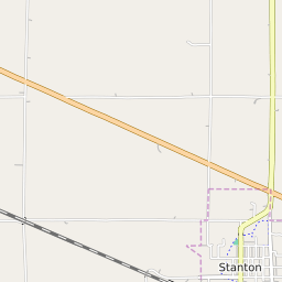


Stanton Iowa Profile
| Place Name | Stanton |
| Place Type | City |
| ZIP Code(s) | 51573 |
| County | Montgomery County |
| Area Code(s) | 712 |
| Timezone | Central Daylight Time (CDT) |
| Population (2022) | 683 |
| Population Growth Rate (2010-19) | -1.60% |
| Majority Ethnicity | White 99.15% |
| US Congressional District(s) | Iowa 3rd |
| State House Districts | 24 |
| State Senate Districts | 12 |
Stanton Race/Ethnicity Data
| Race/Ethnicy | Percentage of Population (2021) |
|---|---|
| White | 99.15% |
| African American | 0.85% |
| Hispanic | 0% |
| Asian | 0% |
| Native American | 0% |
| Hawaiin/Pacific Islander | 0% |