


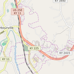

Barbourville Kentucky Profile
| Place Name | Barbourville |
| Place Type | City |
| ZIP Code(s) | 40906 |
| County | Knox County |
| Area Code(s) | 606 |
| Timezone | Eastern Daylight Time (EDT) |
| Population (2022) | 3,218 |
| Population Growth Rate (2010-19) | 1.80% |
| Majority Ethnicity | White 95.58% |
| Metro/Micro Stats Area | London, KY |
| US Congressional District(s) | Kentucky 5th |
| State House Districts | 86 |
| State Senate Districts | 25 |
Barbourville Race/Ethnicity Data
| Race/Ethnicy | Percentage of Population (2021) |
|---|---|
| White | 95.58% |
| African American | 2.72% |
| Hispanic | 1.18% |
| Asian | 0% |
| Native American | 0% |
| Hawaiin/Pacific Islander | 0.52% |