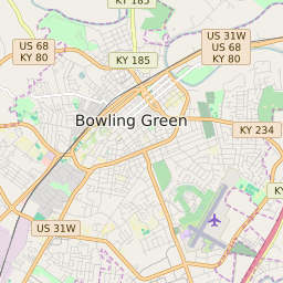


Bowling Green Kentucky Profile
| Place Name | Bowling Green |
| Place Type | City |
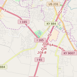
| ZIP Code(s) | 42101 42103 42104 |
| County | Warren County |
| Area Code(s) | 270,364 |
| Timezone | Central Daylight Time (CDT) |
| Population (2022) | 58,632 |
| Population Growth Rate (2010-19) | 24.50% |
| Majority Ethnicity | White 71.79% |
| Metro/Micro Stats Area | Bowling Green, KY |
| US Congressional District(s) | Kentucky 2nd |
| State House Districts | 17,19,20 |
| State Senate Districts | 32 |
Bowling Green Race/Ethnicity Data
| Race/Ethnicy | Percentage of Population (2021) |
|---|---|
| White | 71.79% |
| African American | 12.5% |
| Hispanic | 0.21% |
| Asian | 6.46% |
| Native American | 0.76% |
| Hawaiin/Pacific Islander | 8.28% |