
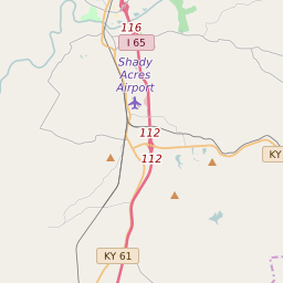
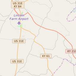
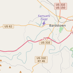


Elizabethtown Kentucky Profile
| Place Name | Elizabethtown |
| Place Type | City |
| ZIP Code(s) | 42701 |
| County | Hardin County |
| Area Code(s) | 270,364 |
| Timezone | Eastern Standard Time (EST) |
| Population (2022) | 28,254 |
| Population Growth Rate (2010-19) | 10.03% |
| Majority Ethnicity | White 80.6% |
| Metro/Micro Stats Area | Elizabethtown-Fort Knox, KY |
| US Congressional District(s) | Kentucky 2nd |
| State House Districts | 18,25 |
| State Senate Districts | 10 |
Elizabethtown Race/Ethnicity Data
| Race/Ethnicy | Percentage of Population (2021) |
|---|---|
| White | 80.6% |
| African American | 12.32% |
| Hispanic | 0.32% |
| Asian | 2.66% |
| Native American | 0.12% |
| Hawaiin/Pacific Islander | 3.97% |