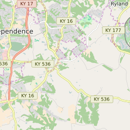


Independence Kentucky Profile
| Place Name | Independence |
| Place Type | City |
| ZIP Code(s) | 41051 |
| County | Kenton County |
| Area Code(s) | 859 |
| Timezone | Eastern Standard Time (EST) |
| Population (2022) | 24,586 |
| Population Growth Rate (2010-19) | 15.83% |
| Majority Ethnicity | White 94.71% |
| Metro/Micro Stats Area | Cincinnati, OH-KY-IN |
| US Congressional District(s) | Kentucky 4th |
| State House Districts | 64 |
| State Senate Districts | 17 |
Independence Race/Ethnicity Data
| Race/Ethnicy | Percentage of Population (2021) |
|---|---|
| White | 94.71% |
| African American | 2.74% |
| Hispanic | 0.12% |
| Asian | 1.15% |
| Native American | 0.09% |
| Hawaiin/Pacific Islander | 1.2% |