
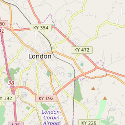


London Kentucky Profile
| Place Name | London |
| Place Type | City |
| ZIP Code(s) | 40741 40744 |
| County | Laurel County |
| Area Code(s) | 606 |
| Timezone | Eastern Standard Time (EST) |
| Population (2022) | 6,797 |
| Population Growth Rate (2010-19) | -5.27% |
| Majority Ethnicity | White 93.75% |
| Metro/Micro Stats Area | London, KY |
| US Congressional District(s) | Kentucky 5th |
| State House Districts | 85,86,89,90 |
| State Senate Districts | 21 |
London Race/Ethnicity Data
| Race/Ethnicy | Percentage of Population (2021) |
|---|---|
| White | 93.75% |
| African American | 3% |
| Hispanic | 0.08% |
| Asian | 1.6% |
| Native American | 0% |
| Hawaiin/Pacific Islander | 1.56% |