
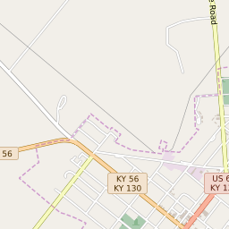
Morganfield Kentucky Profile
| Place Name | Morganfield |
| Place Type | City |
| ZIP Code(s) | 42437 |
| County | Union County |
| Area Code(s) | 270,364 |
| Timezone | Central Standard Time (CST) |
| Population (2022) | 3,287 |
| Population Growth Rate (2010-19) | -0.88% |
| Majority Ethnicity | White 80.34% |
| US Congressional District(s) | Kentucky 1st |
| State House Districts | 7 |
| State Senate Districts | 4 |
Morganfield Race/Ethnicity Data
| Race/Ethnicy | Percentage of Population (2021) |
|---|---|
| White | 80.34% |
| African American | 18.98% |
| Hispanic | 0% |
| Asian | 0% |
| Native American | 0% |
| Hawaiin/Pacific Islander | 0.68% |