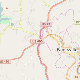
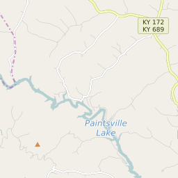
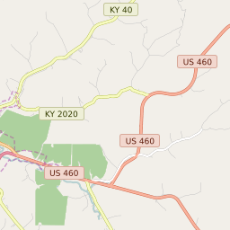


Paintsville Kentucky Profile
| Place Name | Paintsville |
| Place Type | City |
| ZIP Code(s) | 41240 |
| County | Johnson County |
| Area Code(s) | 606 |
| Timezone | Eastern Standard Time (EST) |
| Population (2022) | 3,843 |
| Population Growth Rate (2010-19) | 24.66% |
| Majority Ethnicity | White 98.68% |
| US Congressional District(s) | Kentucky 5th |
| State House Districts | 97 |
| State Senate Districts | 30 |
Paintsville Race/Ethnicity Data
| Race/Ethnicy | Percentage of Population (2021) |
|---|---|
| White | 98.68% |
| African American | 0.83% |
| Hispanic | 0% |
| Asian | 0% |
| Native American | 0% |
| Hawaiin/Pacific Islander | 0.48% |