

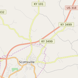

Scottsville Kentucky Profile
| Place Name | Scottsville |
| Place Type | City |
| ZIP Code(s) | 42164 |
| County | Allen County |
| Area Code(s) | 270,364 |
| Timezone | Central Daylight Time (CDT) |
| Population (2022) | 4,267 |
| Population Growth Rate (2010-19) | 1.73% |
| Majority Ethnicity | White 95.25% |
| Metro/Micro Stats Area | Bowling Green, KY |
| US Congressional District(s) | Kentucky 1st |
| State House Districts | 22 |
| State Senate Districts | 9 |
Scottsville Race/Ethnicity Data
| Race/Ethnicy | Percentage of Population (2021) |
|---|---|
| White | 95.25% |
| African American | 2.04% |
| Hispanic | 0.02% |
| Asian | 0% |
| Native American | 0% |
| Hawaiin/Pacific Islander | 2.68% |