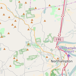

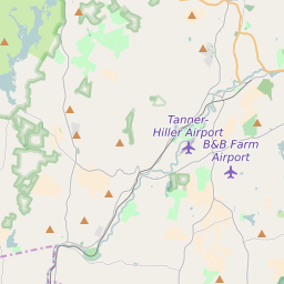

Northampton Massachusetts Profile
| Place Name | Northampton |
| Place Type | City |
| ZIP Code(s) | 01060 01063 |
| County | Hampshire County |
| Area Code(s) | 413 |
| Timezone | Eastern Standard Time (EST) |
| Population (2022) | 28,642 |
| Population Growth Rate (2010-19) | 3.58% |
| Majority Ethnicity | White 86.22% |
| Metro/Micro Stats Area | Springfield, MA |
| US Congressional District(s) | Massachusetts 2nd |
| State House Districts | 1st Hampshire |
| State Senate Districts | Hampshire, Franklin and Worcester |
Northampton Race/Ethnicity Data
| Race/Ethnicy | Percentage of Population (2021) |
|---|---|
| White | 86.22% |
| African American | 2.68% |
| Hispanic | 0.15% |
| Asian | 3.53% |
| Native American | 0.02% |
| Hawaiin/Pacific Islander | 7.41% |