


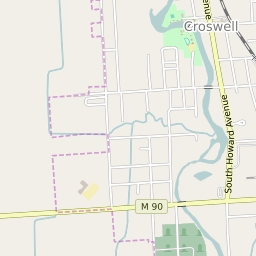

Croswell Michigan Profile
| Place Name | Croswell |
| Place Type | City |
| ZIP Code(s) | 48422 |
| County | Sanilac County |
| Area Code(s) | 810 |
| Timezone | Eastern Daylight Time (EDT) |
| Population (2022) | 2,246 |
| Population Growth Rate (2010-19) | -5.11% |
| Majority Ethnicity | White 89.64% |
| US Congressional District(s) | Michigan 10th |
| State House Districts | 83 |
| State Senate Districts | 25 |
Croswell Race/Ethnicity Data
| Race/Ethnicy | Percentage of Population (2021) |
|---|---|
| White | 89.64% |
| African American | 0.08% |
| Hispanic | 0.72% |
| Asian | 0% |
| Native American | 0% |
| Hawaiin/Pacific Islander | 9.56% |