
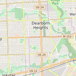
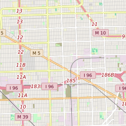
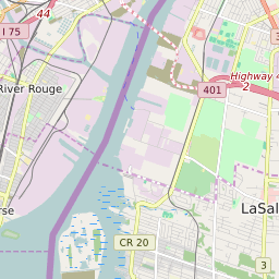
Dearborn Heights Michigan Profile
| Place Name | Dearborn Heights |
| Place Type | City |
| ZIP Code(s) | 48125 48127 |
| County | Wayne County |
| Area Code(s) | 313 |
| Timezone | Eastern Standard Time (EST) |
| Population (2022) | 57,454 |
| Population Growth Rate (2010-19) | 9.55% |
| Majority Ethnicity | White 84.01% |
| Metro/Micro Stats Area | Detroit-Warren-Dearborn, MI |
| US Congressional District(s) | Michigan 13th Michigan 12th |
| State House Districts | 11,13 |
| State Senate Districts | 5 |
Dearborn Heights Race/Ethnicity Data
| Race/Ethnicy | Percentage of Population (2021) |
|---|---|
| White | 84.01% |
| African American | 8.9% |
| Hispanic | 0.19% |
| Asian | 1.56% |
| Native American | 0% |
| Hawaiin/Pacific Islander | 5.34% |